
Service · Agriculture and environment
Precision agriculture and environment
Aerial information to support agronomic assessment, viticulture and land management.
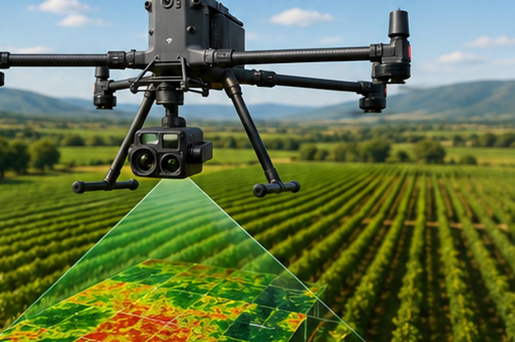
Applications
- Observing crop condition
- Multispectral analysis, when the right sensor is available
- Vegetation vigour maps
- Supporting information to identify areas to check
- Forest monitoring
- Environmental and land documentation
- Viticulture applications
Vegetation indices
Indices such as NDVI and NDRE summarise how vegetation responds across different bands of light. They are supporting indicators: they help locate uneven areas, but the cause must be confirmed on the ground.
Frequently asked questions
Which areas do you cover?
We work mainly in Catalonia, especially Barcelona and the surrounding area. We consider other locations depending on the project.
What happens if the weather is not suitable?
If wind, rain or other conditions prevent safe operation or reliable data, the operation is postponed and rescheduled with you. For thermal imaging, irradiance and temperature also matter.
Related services
Solar PV inspection and cleaning
Thermal imaging of modules, anomaly location and planned specialist cleaning.
Specialist facade cleaning
Assessment of surfaces and access, and cleaning with a method suited to each facade.
Industrial and infrastructure inspection
Visual and thermal capture of roofs, structures, chimneys and infrastructure.
Let’s talk about your plot or land
Tell us the location, the crop or area and what you want to observe.