
Services
Technical drone services
Seven service lines to inspect, maintain and document facilities. Each operation is defined by the asset, the objective and the site conditions.
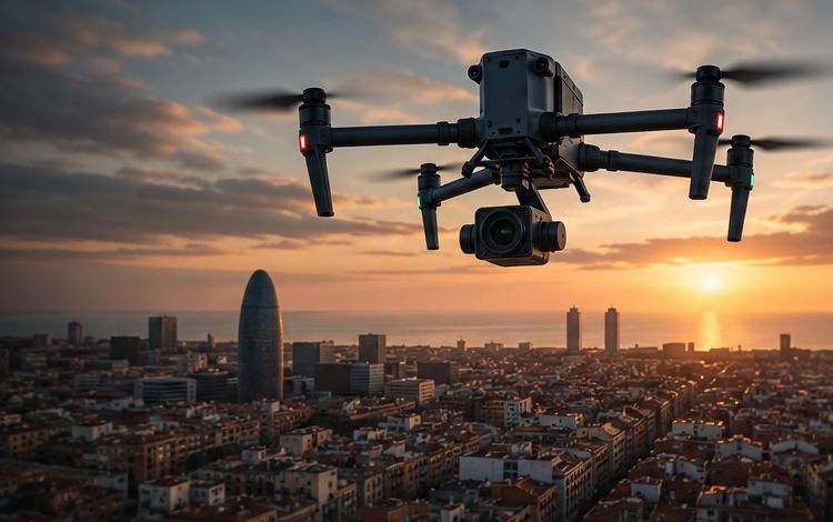
Drone surveying New
Topographic surveys, contour lines, terrain models and volume calculations.
Solar PV inspection and cleaning
Thermal imaging of modules, anomaly location and planned specialist cleaning.
Specialist facade cleaning
Assessment of surfaces and access, and cleaning with a method suited to each facade.
Industrial and infrastructure inspection
Visual and thermal capture of roofs, structures, chimneys and infrastructure.
Photogrammetry and 3D models
Orthomosaics, point clouds and 3D models of sites and assets.
Construction monitoring
Regular records of site progress for technical follow-up and project communication.
Precision agriculture and environment
Vegetation vigour maps and land documentation to support decisions.
Additional service
Aerial photo and video
Aerial photography and video as a complement to our technical services.
- Aerial photography
- Corporate video
- Facility documentation
- Material for project communication
- Images for real estate, architecture and tourism
What affects the price
We prepare tailored quotes. The price depends on factors including:
- Location
- Size and characteristics of the asset
- Objective of the service
- Surroundings and access
- Operating conditions
- Equipment required
- Frequency of visits
- Processing and deliverables
Let’s talk about your facility
Tell us what you need. We will review feasibility and send you a tailored proposal.