
Technical drone services · Catalonia
Drone inspection and maintenance for businesses
Thermal inspections, specialist cleaning and aerial data to help plan maintenance across your facilities in Catalonia.
- Every operation is planned
- Clear information for decisions
- Regular monitoring when needed
AeroDRONIA
The drone is the tool. The value is the information.
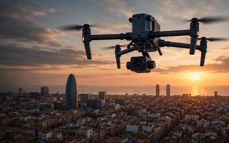
AeroDRONIA plans and carries out drone and sensor operations to inspect facilities, document assets and support maintenance. We work for maintenance managers, facility managers, engineering firms and public bodies that need reliable data to make decisions.
Services
Our services
Ordered by the needs facility managers raise most often.
Drone surveying New
Topographic surveys, contour lines, terrain models and volume calculations.
Solar PV inspection and cleaning
Thermal imaging of modules, anomaly location and planned specialist cleaning.
Specialist facade cleaning
Assessment of surfaces and access, and cleaning with a method suited to each facade.
Industrial and infrastructure inspection
Visual and thermal capture of roofs, structures, chimneys and infrastructure.
Photogrammetry and 3D models
Orthomosaics, point clouds and 3D models of sites and assets.
Construction monitoring
Regular records of site progress for technical follow-up and project communication.
Precision agriculture and environment
Vegetation vigour maps and land documentation to support decisions.
Additional service: Aerial photography and video as a complement to our technical services. Aerial photo and video
New service
Drone surveying
For engineering firms, contractors, developers, quarries and landowners who need fast, reliable data about the ground.
- Topographic surveys and contour lines
- Digital terrain models
- Stockpile and earthworks volumes
- Accuracy and formats agreed for each project
Solar energy
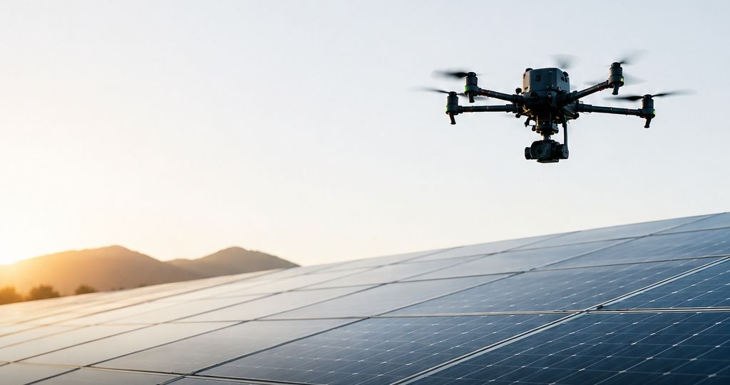
Solar panel thermal inspection and cleaning
For industrial rooftops, commercial installations, solar parks and asset portfolios managed by O&M companies.
- Visual and thermal capture of the modules
- Location of thermal anomalies and areas to check
- Cleaning planned around the installation, materials and surroundings
- Documentation to guide maintenance
Sectors
Where aerial information adds value
Solar energy
Asset owners and O&M companies need to know the condition of their modules and prioritise work across portfolios that are often spread out.
Industry and logistics
Roofs, envelopes and chimneys at warehouses and plants need regular checks in areas that are hard to reach.
Industrial and infrastructure inspectionSolar PV inspection and cleaning
Buildings and property management
Managers of office buildings, hotels and shopping centres must maintain facades and roofs and document their condition.
Specialist facade cleaningIndustrial and infrastructure inspection
Engineering and construction
Engineering firms, contractors and developers need to measure, document and track project progress with up-to-date data.
Drone surveyingPhotogrammetry and 3D modelsConstruction monitoring
Agriculture and viticulture
Cooperatives and wineries want to identify which parts of a plot need a closer look and follow them through the season.
Environment and public bodies
Public bodies and land managers need to document forests, land and infrastructure in a planned way.
Precision agriculture and environmentDrone surveyingPhotogrammetry and 3D models
How we work
From first contact to delivery
We understand the need
We gather the location, asset type, objective and any available documentation.
We assess feasibility
We review access, surroundings, constraints and technical scope.
We define the proposal
We agree on the service, deliverables, schedule and price.
We plan and carry out the work
We coordinate the operation with the client and the site conditions.
We deliver the information
We provide the agreed material and reports, with the option of ongoing monitoring.
How we work
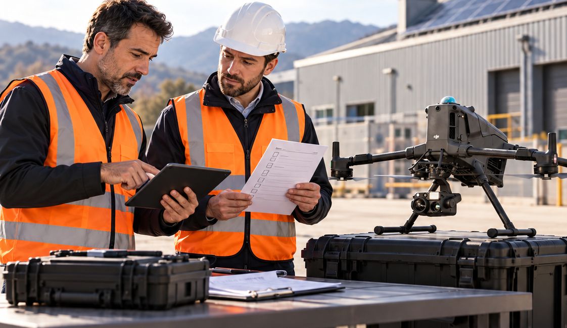
The work starts before take-off.
Before every flight we review the site, access, risks and method. It is the part you don’t see, and the part that matters most.
Technology
Technology and capabilities
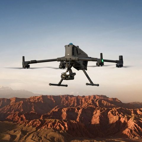
Our flight equipment includes a DJI Matrice 400 with a Zenmuse H30T sensor for visual and thermal capture. Other configurations, such as multispectral or LiDAR sensors, are added when a project requires them and the right equipment is available. Thermographic inspections are carried out by an ITC Level 1 certified thermographer, following IEC 62446-3.
Safety
Every operation is prepared before take-off
Advance planning
Every operation is prepared before we go on site.
Risk assessment
We identify the specific risks of the activity and the site.
Site review
We check access, obstacles, people on site and restrictions.
Coordination with the client
We agree times, areas and measures with the person responsible for the site.
Weather conditions
If conditions are not suitable, the operation is rescheduled.
Working method
We choose the method and equipment according to the asset and the objective.
Water and products
We use them according to compatibility with the asset and technical documentation.
No climbing onto roofs
We work from the air: our team does not go up onto roofs.
Which areas do you cover?
We work mainly in Catalonia, especially Barcelona and the surrounding area. We consider other locations depending on the project.
What information do you need to prepare a quote?
The location, the type of facility or asset, its approximate size, what you want to find out or solve and, if you have them, drawings, photos or previous reports. With this we assess feasibility and scope.
Can you work at any facility?
Not always. Feasibility depends on the location, surroundings, access, airspace restrictions and the characteristics of the asset. We assess this for each project before making a proposal.
What do we receive after an inspection?
The material and reports agreed in the proposal: for example, visual and thermal images, the location of areas to check and observations to guide maintenance. Deliverables are defined for each service.
Can thermal imaging tell us the exact cause of any fault?
No. Thermal imaging shows temperature differences that may indicate an anomaly. These need to be interpreted and, where appropriate, followed up with further checks to determine the cause.
Contact
Let’s talk about your facility
Tell us what you need. We will review feasibility and send you a tailored proposal.
- Phone
- +34 628 909 465
- Message us on WhatsApp
- info@aerodronia.com
- Coverage
- Catalonia, especially Barcelona and the surrounding area. Other locations, depending on the project.